
Carbon Footprint Analysis
We estimate greenhouse gas emissions and how much carbon existing trees and land absorb, for environmental studies and planning.
What this means for you
- Meets recognised assessment methods
- Uses AI to count and measure trees
- Clear baselines for future comparison
Part of our Climate Change Science and Adaptation offering.
Related solutions: Tree Height & Carbon Mapping, Disaster Risk Reduction, Sea-Level Rise Modeling.
See it in action
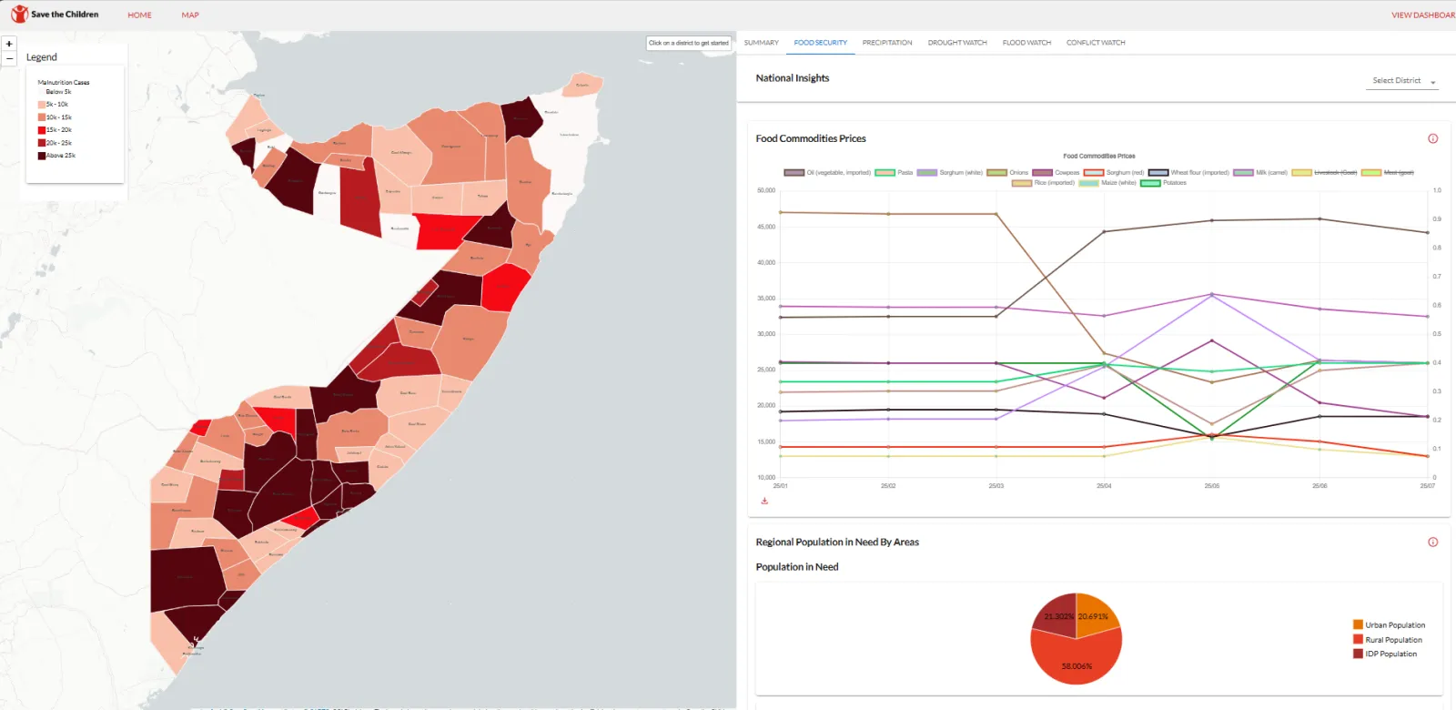
Community Resilience & NGOs · Somalia
Amilen & Zetabyte support SCI-Somalia to deploy Anticipatory Action Forecasting System for resilient Somalia.
Empowering Somalia to combat climate change, the Anticipatory Action Forecasting System (AAFS) leverages cutting-edge AI and satellite data to predict floods and droughts. By strengthenin…
Community Resilience & NGOs · Kenya
Mapping Water, Grazing and Risk Together: Drone Surveys and Maps in Laikipia North
Drone surveys, community mapping and a simple online dashboard to help communities in Mukogodo East and West plan for drought and floods.
Environment & Climate · Kenya
Measuring a Forest's Carbon: Drone LiDAR and Tree Inventory for an Indigenous Forest in Butula
A drone LiDAR survey combined with a field tree inventory to measure how much carbon an indigenous forest holds now and could hold in future, as the baseline for a forest carbon project.

Ready to Transform Your Business?
Partner with us for expert guidance and strategies that drive growth and success.
Contact UsGet Your Free Consultation