
Maps and data for every sector we serve
Amilen leverages GIS, Remote Sensing and Earth Observation data and tools to enable and support organizations in their digital transformation journey. Our continuous support through an embedded solution partnership approach has seen our clients achieve much higher ROI.
Government & Public Sector
Better data for ministries, counties and national agencies.
Explore 3 solutions →
NGOs, Donors & Community Development
Show your impact, plan with communities, report with confidence.
Explore 3 solutions →
Agriculture and Irrigation Services
Grow more with less water, using maps and satellite data.
Explore 4 solutions →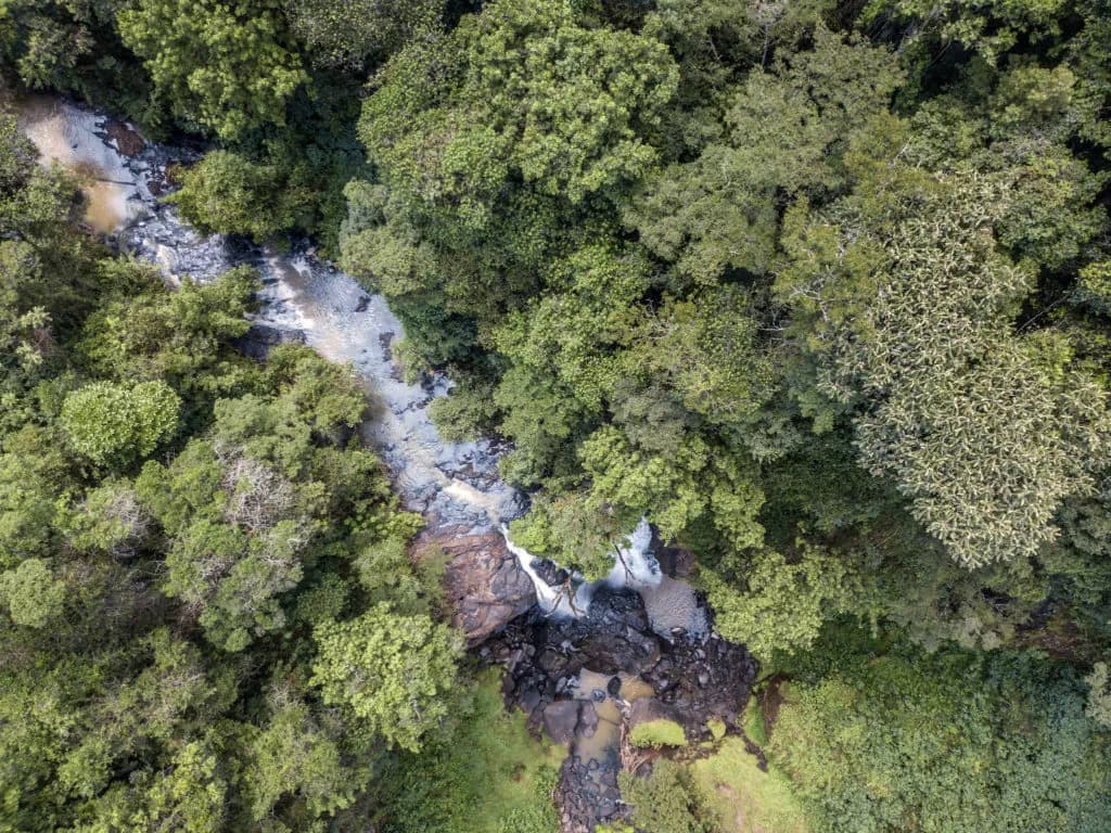

Climate Change Science and Adaptation
Measure carbon, predict hazards, prepare communities.
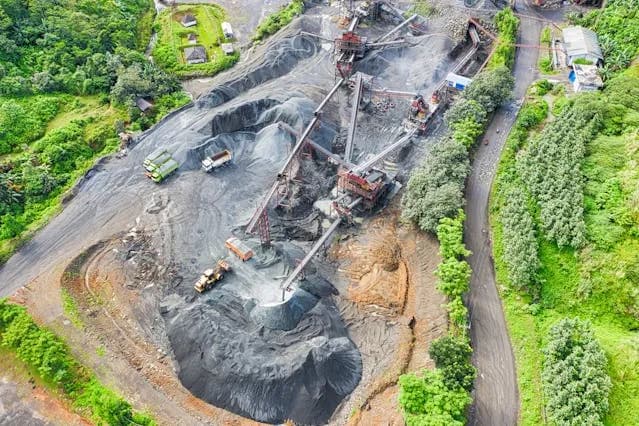
Explore 4 solutions →Infrastructure and Transportation
Survey, plan and monitor roads, rail and towns.
Explore 4 solutions →9+
Years of Experience
30+
Successful Projects
3
Countries: Kenya, Uganda, Somalia
10
Industries Served
80%
Client Retention Rate

Ready to Transform Your Business?
Partner with us for expert guidance and strategies that drive growth and success.
Contact UsGet Your Free Consultation