
Government & Public Sector
Government & Public Sector
Geoportals & Data Hubs
A single website where staff and the public can find, view and download official maps and data, built on open standards so systems can talk to each other.
Discover More: Geoportals & Data HubsRegistries & Baseline Surveys
We register people, plots and assets with GPS and mobile forms, then check and clean the data to build a reliable digital register.
Discover More: Registries & Baseline SurveysField Data Collection Systems
Mobile data collection set up end to end: forms, field teams, servers and dashboards, so survey results reach decision makers in days, not months.
Discover More: Field Data Collection SystemsGovernment & Public Sector: our recent projects
Satellite Alerts for Uganda: A Live Ecosystem Monitoring System for NEMA
We built the engine behind a proof-of-concept system that lets Uganda's National Environment Management Authority spot forest loss, burning and wetland damage from space.
Modernising National Data: A Geoportal and Field Tools for DRSRS
We are helping Kenya's Directorate of Resource Surveys and Remote Sensing replace scattered files with a modern geoportal, a standard spatial database and mobile data collection.
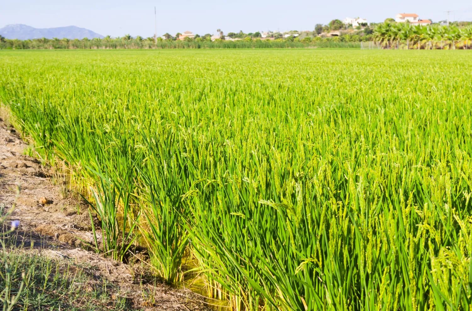
Mapping the Future of Food: Mwea Irrigation Scheme's Digital Farmer and Farms Registry
In collaboration with the National Irrigation Authority, we have revolutionized the process of mapping farms and farmer registration to determine the accurate and current acreage under ir…
Services we use here: Data Hubs & Geoportals, Field Data Collection & Surveys, Web Maps & Dashboards.
Explore other sectors we serve: NGOs, Donors & Community Development, Utilities, Agriculture and Irrigation Services, Environmental Monitoring, Natural Resources, Conservation, Climate Change Science and Adaptation, IT and Software Engineering, Infrastructure and Transportation.

Ready to Transform Your Business?
Partner with us for expert guidance and strategies that drive growth and success.
Contact UsGet Your Free Consultation