Geospatial Technologies and Data-Driven Strategies and Solutions.
We provide bespoke solutions built on localized strategies leveraging geospatial technologies and Data-Driven methodologies..
Learn More About Us
OUR CLIENTS AND PARTNERS


WE ARE
Reimagining the Role of Geospatial Technologies for Impact in Africa
Africa based and led leader in leveraging Geographic Information Systems (GIS), Remote Sensing and AI/ML to empower governments, donors, change-makers and businesses to design data-driven strategies and solutions for impact. We have a network of globally recognized experts dedicated to ensure measurable success at every step of your journey.
We have helped government agencies, devaid partners and donors achieve impact
Amilen provides consultancy services in key global sectors where technology and data can make a difference:

Agriculture

Climate
Environment Monitoring

Land Management

Data Infrastructure
Explore our work on specific sectors and themes
Are You Ready to Drive Your Business Forward with Geospatial Solutions?
Amilen integrates geospatial, earth observation and remote sensing solutions into mission critical business processes.The outcome is reliable insights that enables any business to optimize their operation effectively.
Resources
Get the Amilen Africa updates
Amilen publishes reports and other publications periodically on application of GIS, Remote Sensing, AI/ML in agriculture, environment and climate change, conservation, land use and management, and much more.
Report
2024
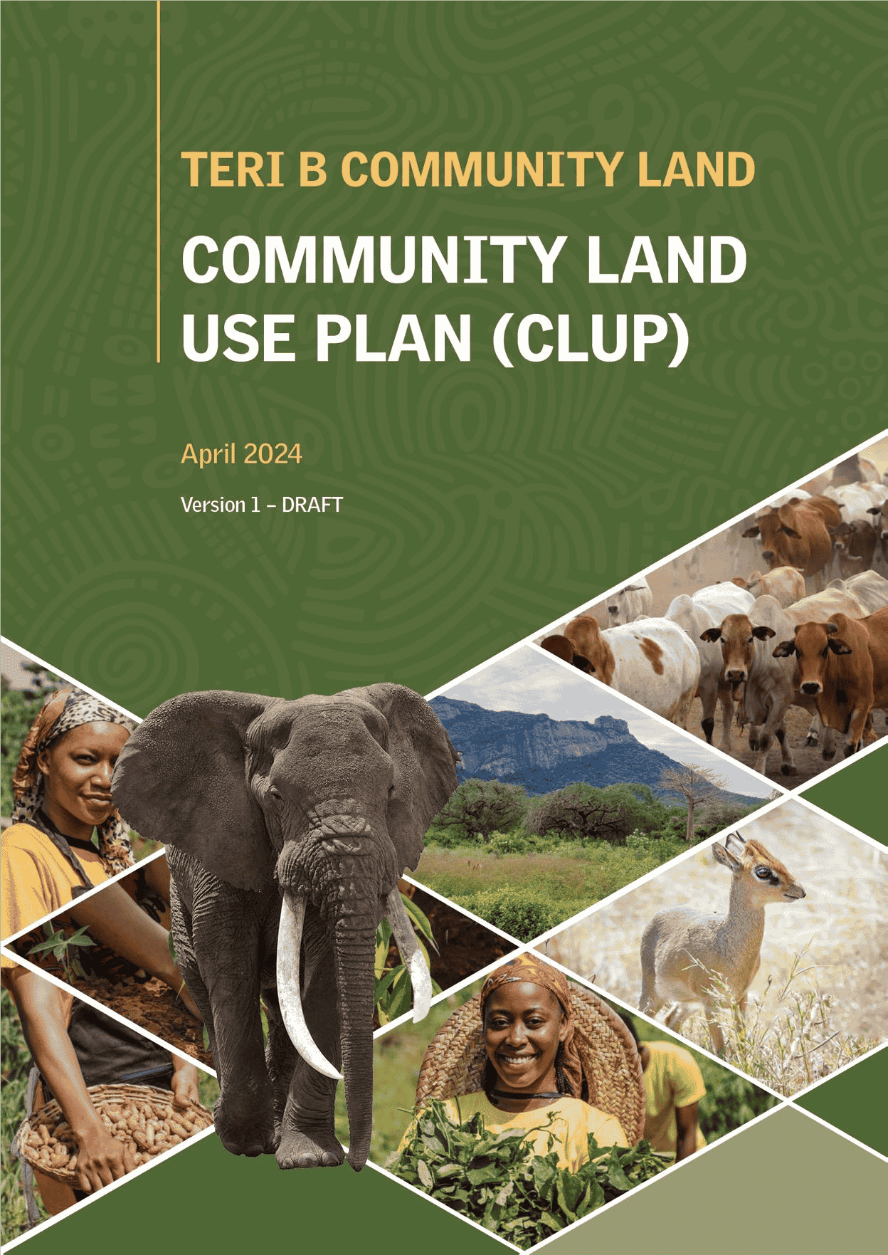
Community Land Use Planning - Teri B Community Land, Taita Taveta County

Report
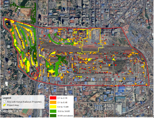
2024
Baseline GHG Assessment - Kenya Railways Corporation
Report
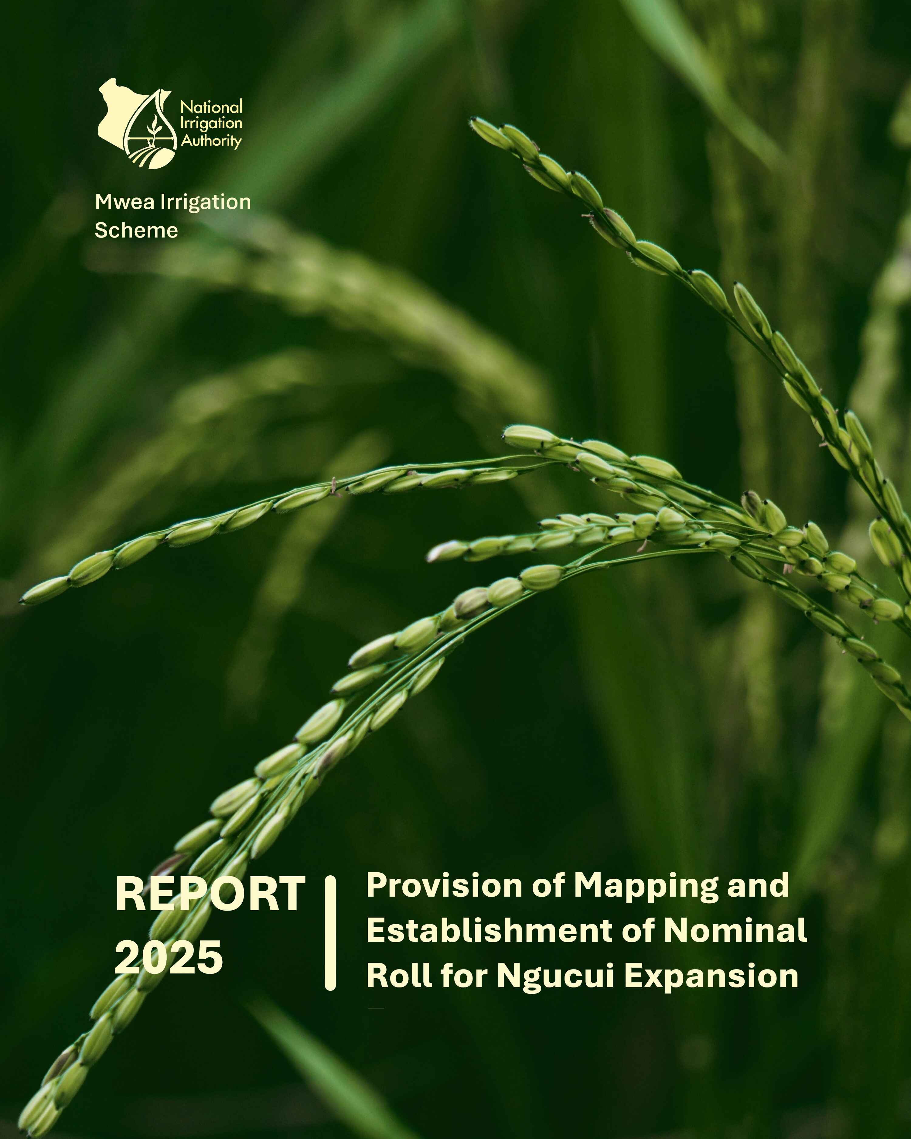
2025
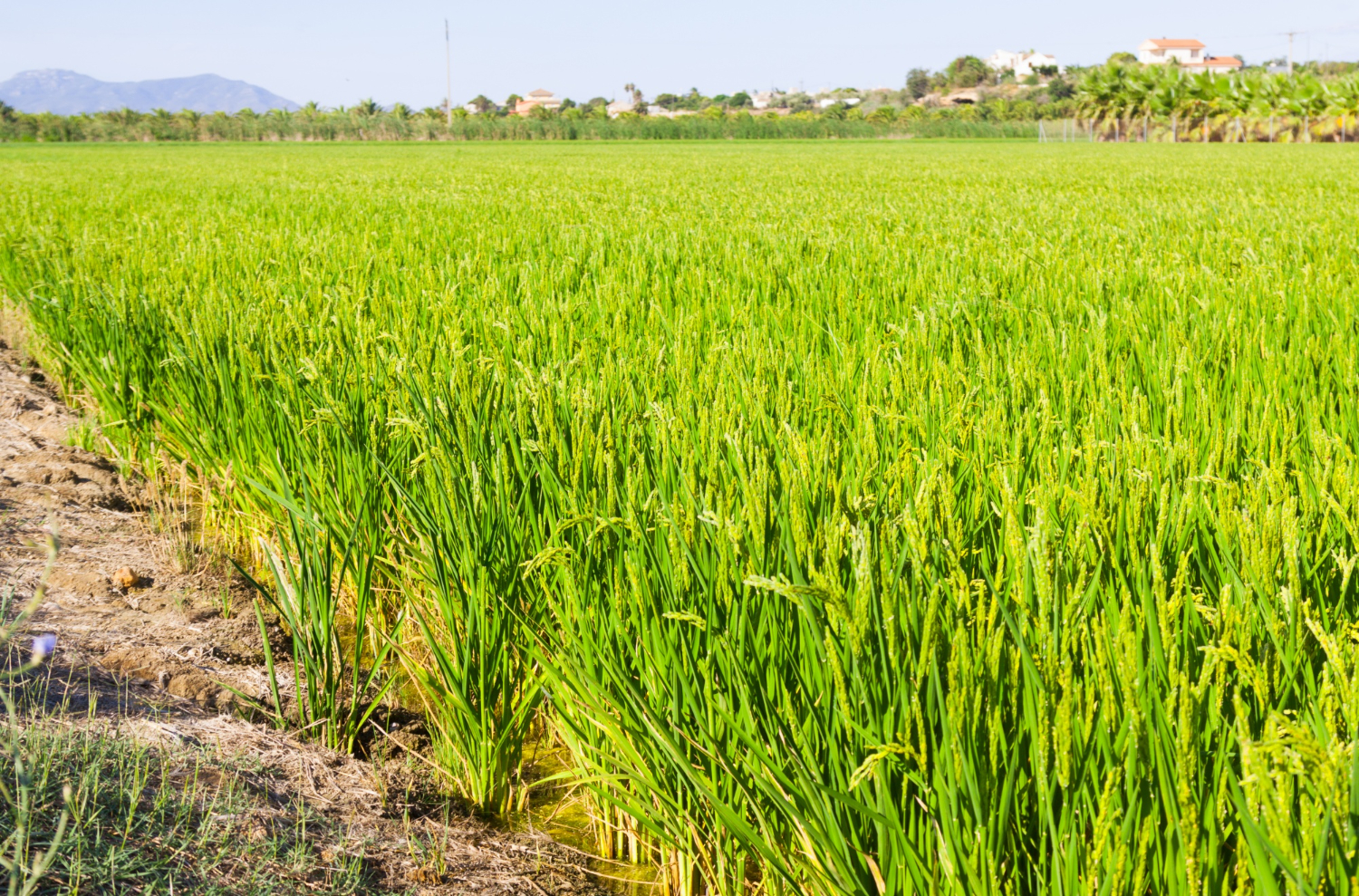
Smallholder Farmers Registration and Mapping - Mwea Irrigation Scheme. National Irrigation Authority
Our work makes global leaders more effective
"Amilen Africa transformed our data infrastructure, making our operations more efficient and reliable. Their expertise in geospatial data infrastructure, security and privacy is unparalleled."
Imala Vincent
Data Manager, Directorate of Resource Survey and Remote Sensing.
1/4
Get in Touch
Contact Information
info@amilenafrica.com
+254 720 463468 | 787 852225
A3, Surveyors Court, Unga Lane, Woodvale Road, Westlands, Nairobi, Kenya