
Conservation
Conservation
Conservation Data Hubs
One central system for a conservancy association and its members: field reports, indicators and dashboards, connected to tools like EarthRanger and SMART.
Discover More: Conservation Data HubsHabitat Mapping
Detailed maps of forests, grasslands, rivers and wetlands, showing which are healthy and which are under pressure.
Discover More: Habitat MappingWildlife Tracking
We show animal movements and sightings on maps, to understand corridors, hotspots and conflict areas.
Discover More: Wildlife TrackingConservation Planning
We help conservancies and communities choose what to protect, where and how, using maps of wildlife, land use and community needs.
Discover More: Conservation PlanningConservation: our recent projects
One Home for Conservation Data: The Laikipia Conservancies Data Hub
A central data hub and set of dashboards that help Laikipia Conservancies Association and its members track results, report to donors and compare impact.
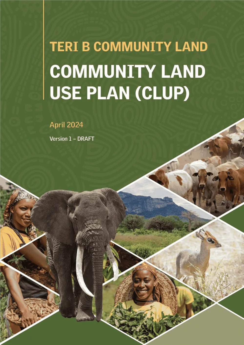
Empowering Communities: Participatory Community Land Use Planning in Taita Taveta with KWCA & TTWCA
Flagship GIS based community land use spatial plan prepared through participatory mapping to provide a clear strategic direction for the utilization of the community land in an efficient,…
Services we use here: Data Hubs & Geoportals, Web Maps & Dashboards, Community Mapping & Land Use Planning.
Explore other sectors we serve: Government & Public Sector, NGOs, Donors & Community Development, Utilities, Agriculture and Irrigation Services, Environmental Monitoring, Natural Resources, Climate Change Science and Adaptation, IT and Software Engineering, Infrastructure and Transportation.

Ready to Transform Your Business?
Partner with us for expert guidance and strategies that drive growth and success.
Contact UsGet Your Free Consultation