
Conservation Data Hubs
One central system for a conservancy association and its members: field reports, indicators and dashboards, connected to tools like EarthRanger and SMART.
What this means for you
- Members can compare results fairly
- Donors get project-level reports
- Less time spent chasing spreadsheets
Part of our Conservation offering.
Related solutions: Habitat Mapping, Wildlife Tracking, Conservation Planning.
See it in action
Conservation & Land Use · Kenya
One Home for Conservation Data: The Laikipia Conservancies Data Hub
A central data hub and set of dashboards that help Laikipia Conservancies Association and its members track results, report to donors and compare impact.
Conservation & Land Use · Kenya
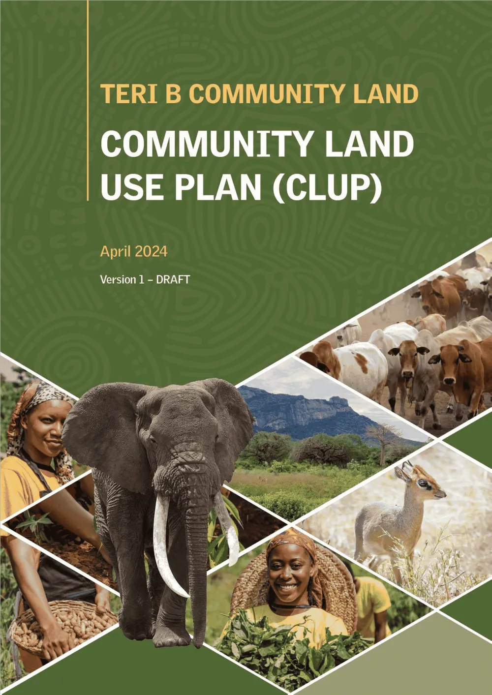
Empowering Communities: Participatory Community Land Use Planning in Taita Taveta with KWCA & TTWCA
Flagship GIS based community land use spatial plan prepared through participatory mapping to provide a clear strategic direction for the utilization of the community land in an efficient,…

Ready to Transform Your Business?
Partner with us for expert guidance and strategies that drive growth and success.
Contact UsGet Your Free Consultation