Satellite Monitoring & AI
Watch forests, water, farms and weather from space. We use free and commercial satellite images, plus artificial intelligence, to spot change early: forest loss, burnt land, drying wetlands, crop stress or coming floods and droughts.
What you get
- Automatic alerts when land or vegetation changes unusually
- Before-and-after comparisons you can use as evidence
- Health, burn and water indices from Sentinel and other satellites
- AI models that count trees, classify land use or forecast hazards
- Clear monthly or yearly trend reports
Tools and standards
Sentinel Hub
NDVI / EVI / NBR / NDWI
Machine learning
Deep learning (CNN)
STAC APIs
Used in these industries
Satellite Monitoring & AI: our recent projects
Environment & Climate · Uganda
Satellite Alerts for Uganda: A Live Ecosystem Monitoring System for NEMA
We built the engine behind a proof-of-concept system that lets Uganda's National Environment Management Authority spot forest loss, burning and wetland damage from space.
Community Resilience & NGOs · Somalia
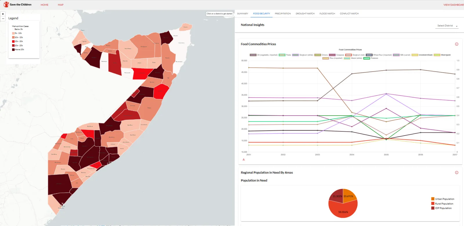
Amilen & Zetabyte support SCI-Somalia to deploy Anticipatory Action Forecasting System for resilient Somalia.
Empowering Somalia to combat climate change, the Anticipatory Action Forecasting System (AAFS) leverages cutting-edge AI and satellite data to predict floods and droughts. By strengthenin…
Environment & Climate · Kenya
Measuring a Forest's Carbon: Drone LiDAR and Tree Inventory for an Indigenous Forest in Butula
A drone LiDAR survey combined with a field tree inventory to measure how much carbon an indigenous forest holds now and could hold in future, as the baseline for a forest carbon project.

Ready to Transform Your Business?
Partner with us for expert guidance and strategies that drive growth and success.
Contact UsGet Your Free Consultation