
Satellite Alerts & Change Detection
What this means for you
- Find problems in days, not months
- Before-and-after evidence for enforcement
- Alerts can be reviewed, escalated and closed in the system
Part of our Environmental Monitoring offering.
Related solutions: Deforestation Tracking, Air and Water Quality, Biodiversity Mapping.
See it in action
Satellite Alerts for Uganda: A Live Ecosystem Monitoring System for NEMA
We built the engine behind a proof-of-concept system that lets Uganda's National Environment Management Authority spot forest loss, burning and wetland damage from space.
Measuring a Forest's Carbon: Drone LiDAR and Tree Inventory for an Indigenous Forest in Butula
A drone LiDAR survey combined with a field tree inventory to measure how much carbon an indigenous forest holds now and could hold in future, as the baseline for a forest carbon project.
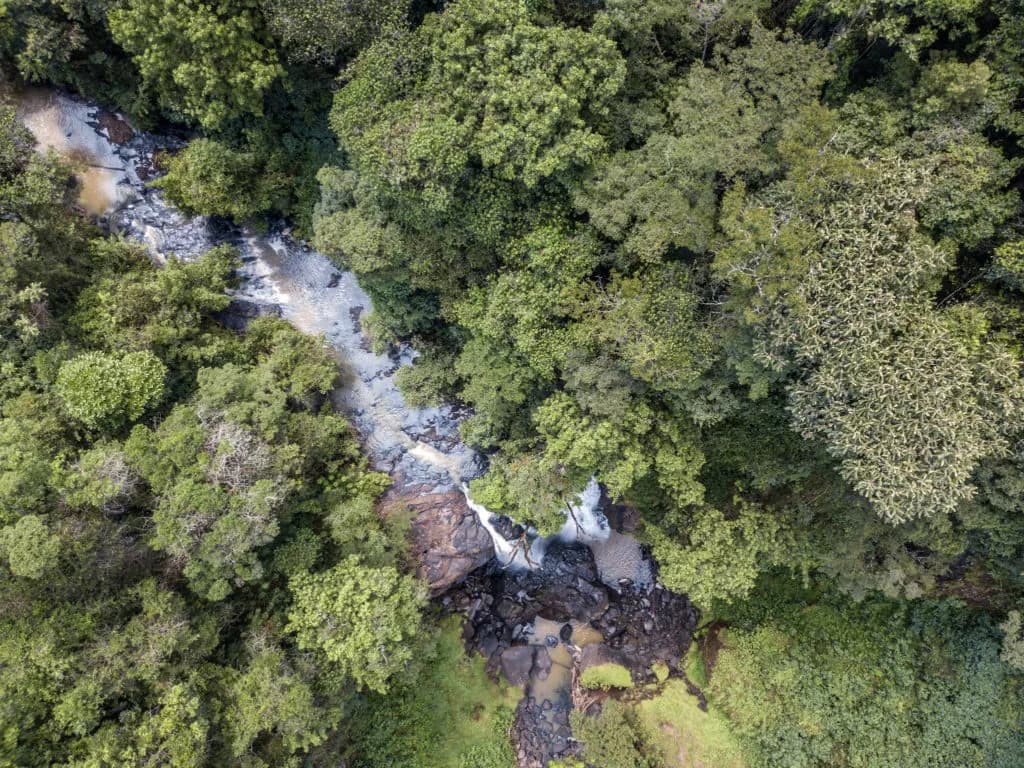
Protecting Kenya's Water Towers through strategic restoration of vital water catchment ecosystems.
We provided technical assistance to the Kenya Forest Research Institution, using AI, Machine Learning, and GIS to enhance climate resilience and sustainable management of vital ecosystems…

Ready to Transform Your Business?
Partner with us for expert guidance and strategies that drive growth and success.
Contact UsGet Your Free Consultation