
Land Management
We map land use, ownership and boundaries, and help communities and counties prepare land use plans.
What this means for you
- Fewer land disputes
- Plans that balance farming, grazing and conservation
- Maps ready for approval and use
Part of our Natural Resources offering.
Related solutions: Resource Exploration, Hydrological Modeling.
See it in action
Data Platforms & Software · Kenya
Modernising National Data: A Geoportal and Field Tools for DRSRS
We are helping Kenya's Directorate of Resource Surveys and Remote Sensing replace scattered files with a modern geoportal, a standard spatial database and mobile data collection.
Conservation & Land Use · Kenya
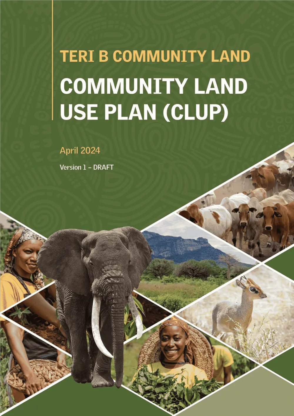
Empowering Communities: Participatory Community Land Use Planning in Taita Taveta with KWCA & TTWCA
Flagship GIS based community land use spatial plan prepared through participatory mapping to provide a clear strategic direction for the utilization of the community land in an efficient,…
Environment & Climate · Kenya
Measuring a Forest's Carbon: Drone LiDAR and Tree Inventory for an Indigenous Forest in Butula
A drone LiDAR survey combined with a field tree inventory to measure how much carbon an indigenous forest holds now and could hold in future, as the baseline for a forest carbon project.

Ready to Transform Your Business?
Partner with us for expert guidance and strategies that drive growth and success.
Contact UsGet Your Free Consultation